Geospatial Insights, Sustainable Action
Connect with us for:
- High-resolution mapping and spatial analysis for sustainable natural resource management.
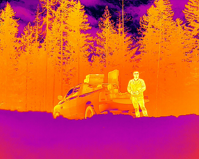
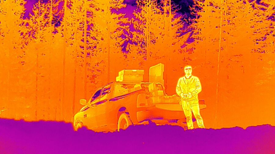
- Remote sensing with LiDAR, radar, sonar, multispectral, hyperspectral and thermal imaging to monitor and model various environments.
- Custom geospatial workflows integrating field data, advanced analytics and machine learning.
- Applied research partnerships with communities, industry and Indigenous groups to address local environmental challenges.
- Student internship and co-op opportunities that build skills, strengthen community capacity and create local job pathways.
- Collaborative projects that leverage research grants to deliver greater value for partners.
- Expertise you can trust, powered by researchers and students.
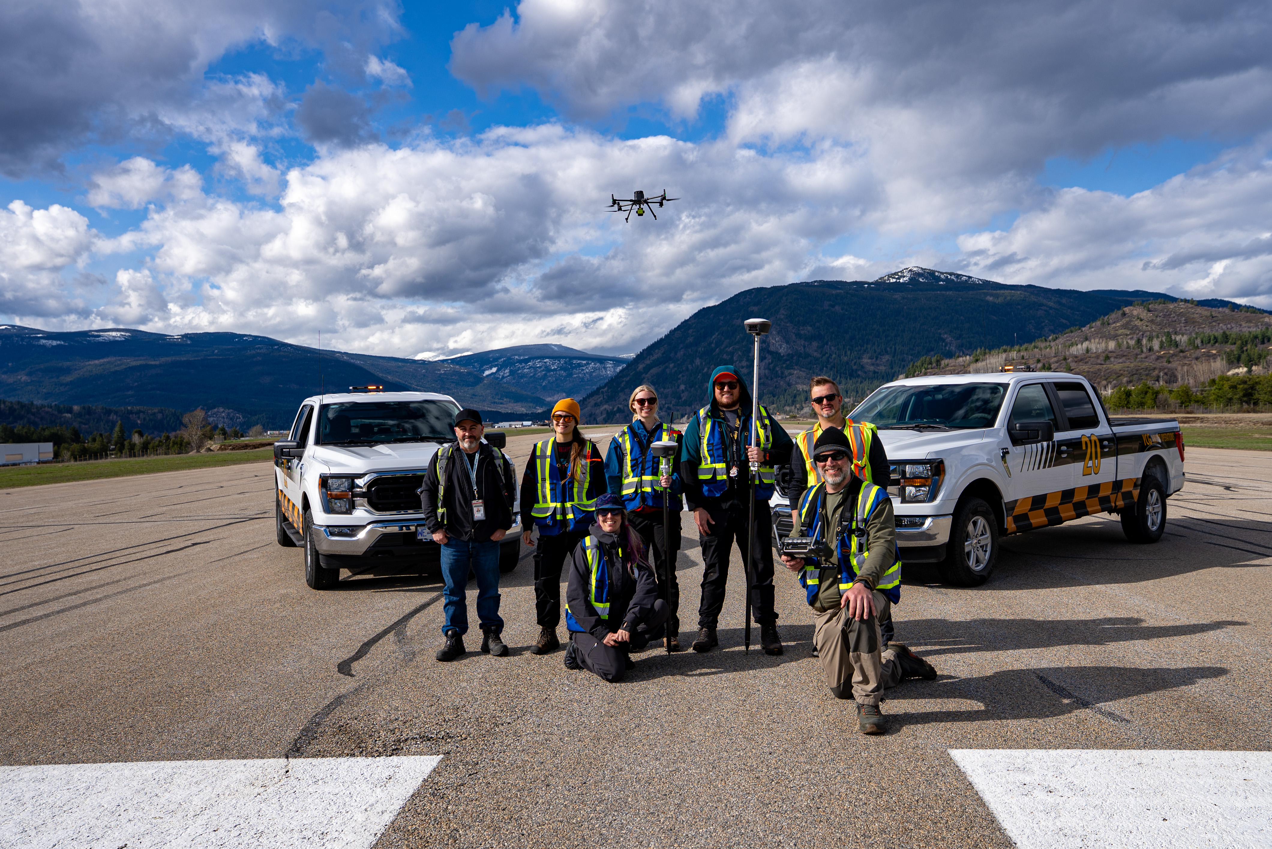
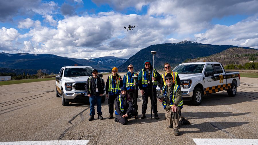
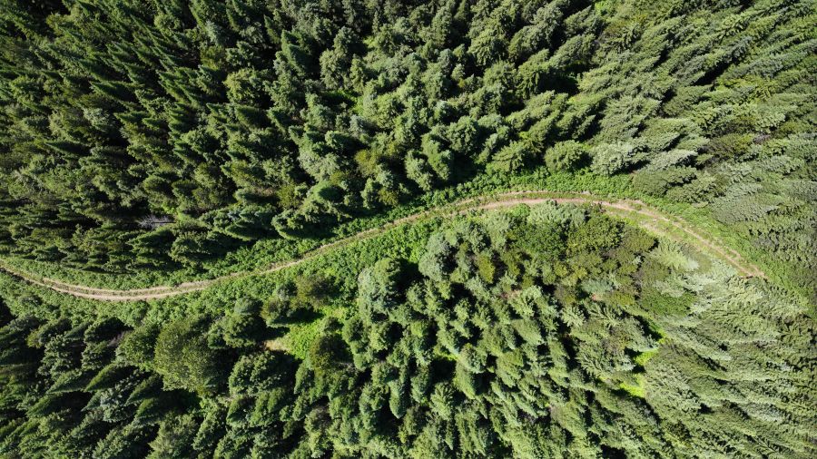
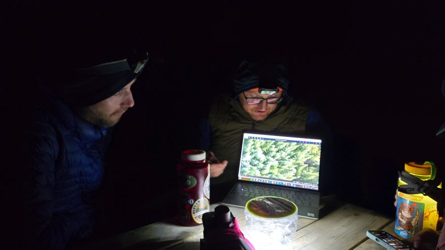
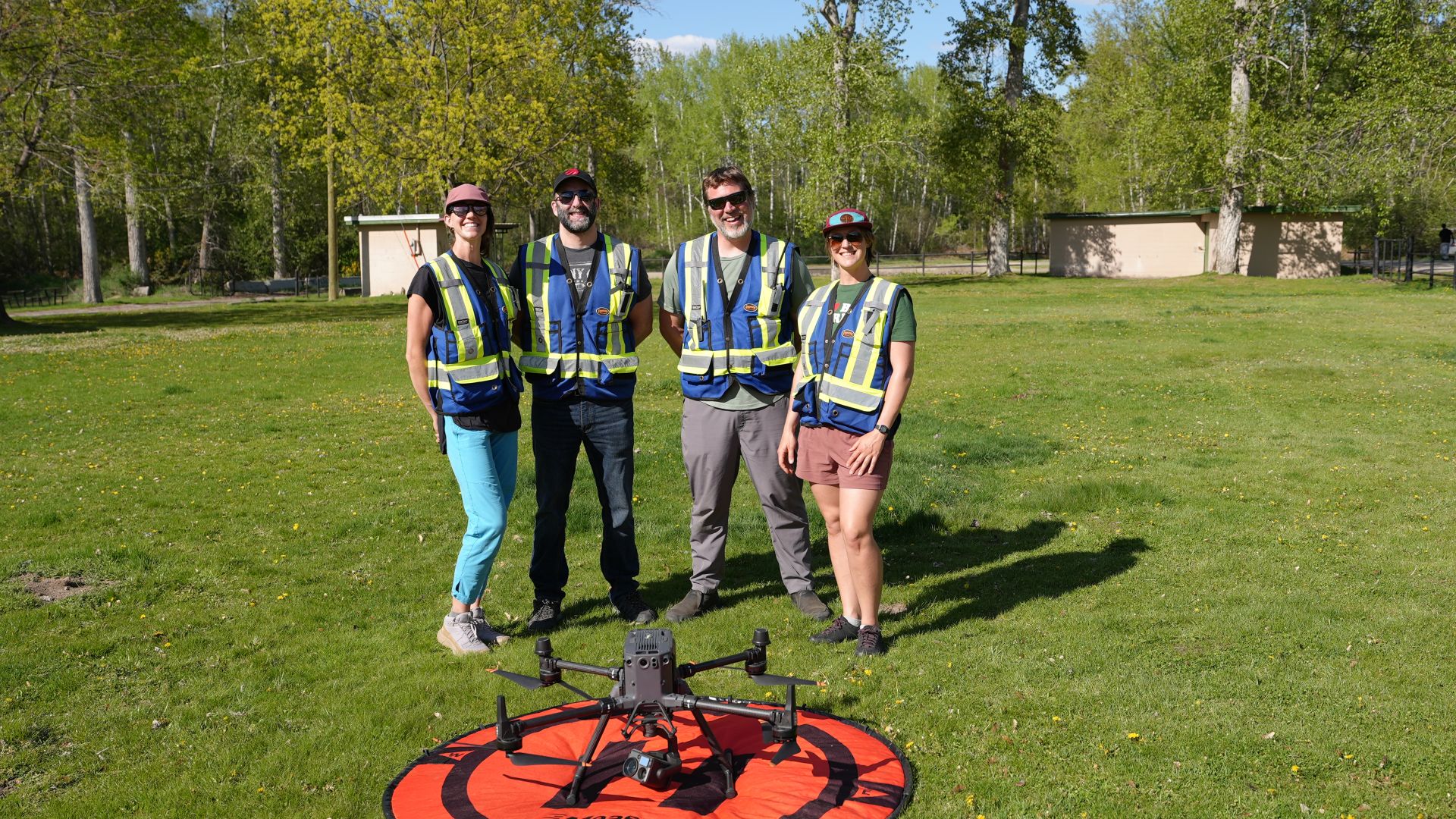
Selkirk Innovates leverages cutting-edge geospatial technologies and advanced analytics to support sustainable natural resource management across diverse landscapes.
Our research integrates multi-sensor data collection—including LiDAR, multispectral, thermal and ground-penetrating radar—with machine learning and spatial modelling to monitor ecosystems, assess environmental risks and guide resource planning.
By developing scalable, data-driven workflows and decision-support tools, we help partners in forestry, fisheries, watershed management and infrastructure sectors optimize conservation efforts, improve operational efficiency and enhance resilience in the face of environmental change.


Access over $4 million in equipment to meet regional industry needs. Thank you to our generous funders!

Check out our growing roster of technology-focused micro-credentials. From mass timber to drones, access training in the latest technologies.

Are you a student interested in earning while you learn? Check out our opportunities.
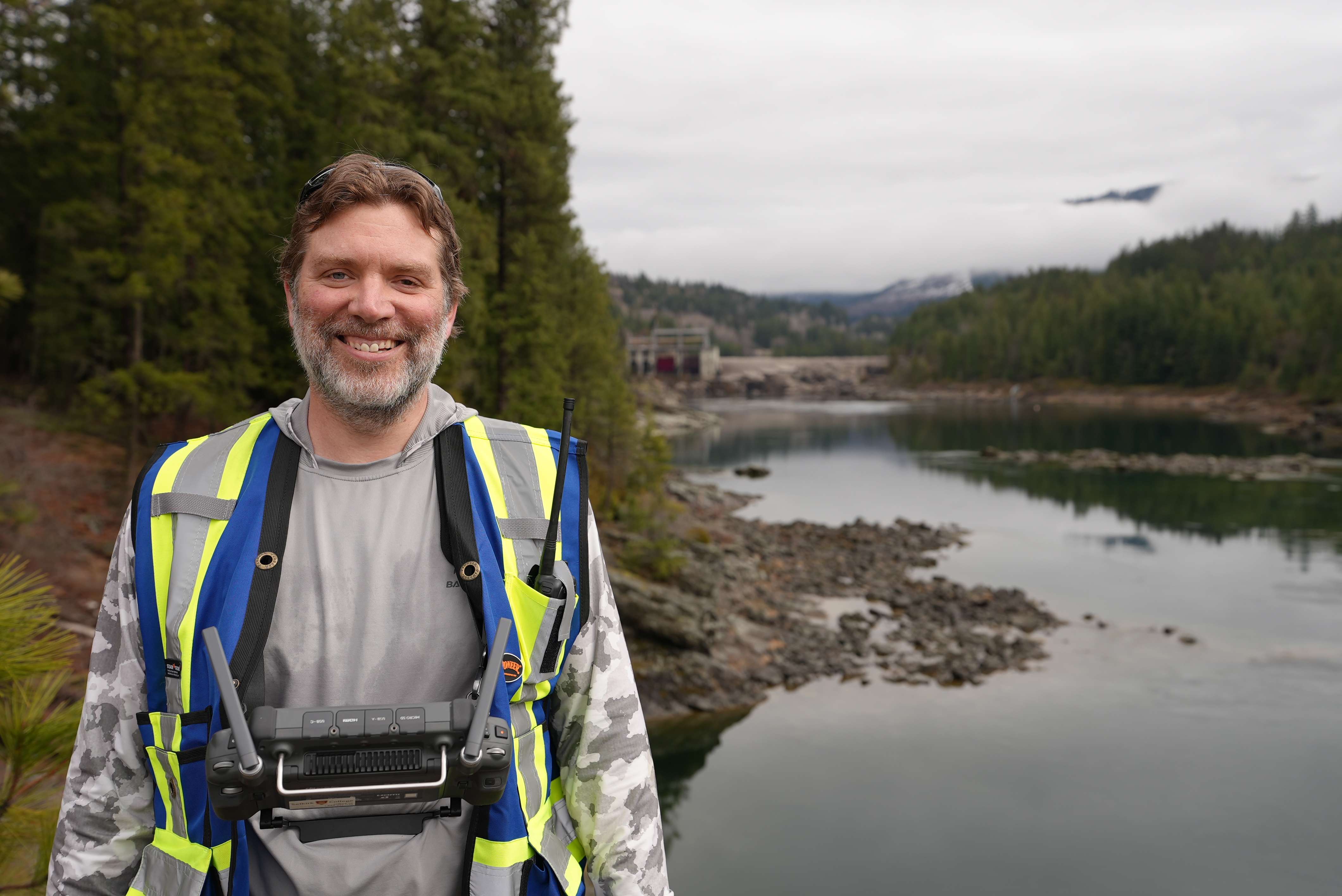
Fisheries & Watershed Research
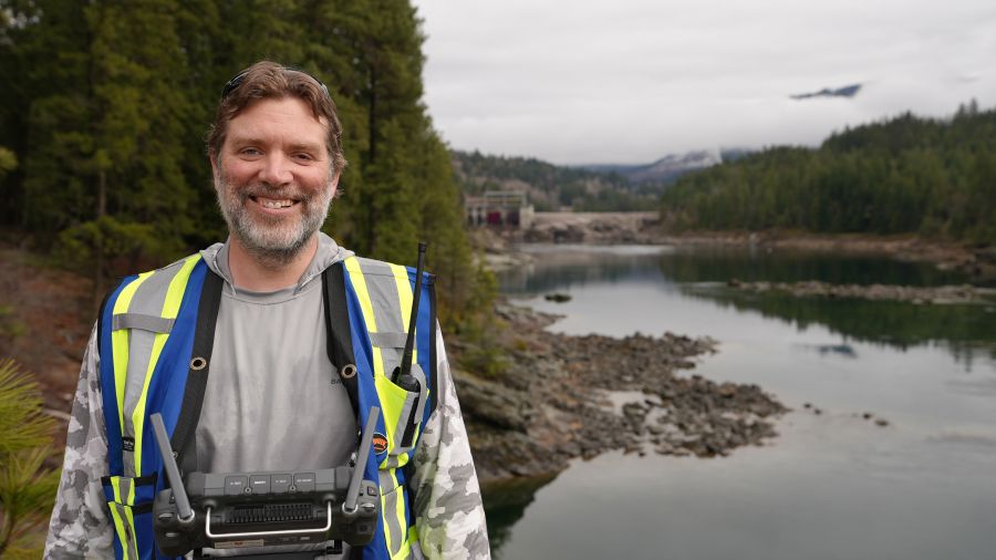
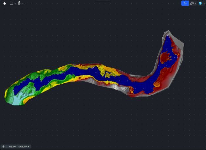
The Selkirk Innovates aquatics research team combines cutting-edge drone technology, remote sensing and advanced spatial analysis to support fisheries management and watershed planning.
Our technology includes:
- Handheld and aerial LiDAR (including water-penetrating Green LiDAR)
- High-resolution photogrammetry
- Thermal, multispectral and hyperspectral imaging
- Ground-penetrating radar
- Both drone- and vessel-based sonar systems
These tools support fish and redd detection, thermal refugia mapping, bathymetric surveys and stream channel characterization.
By integrating multi-sensor data into advanced spatial analyses, we provide partners with scalable, repeatable workflows that inform environmental planning, guide restoration efforts and enhance sustainable resource management from site to watershed scale.
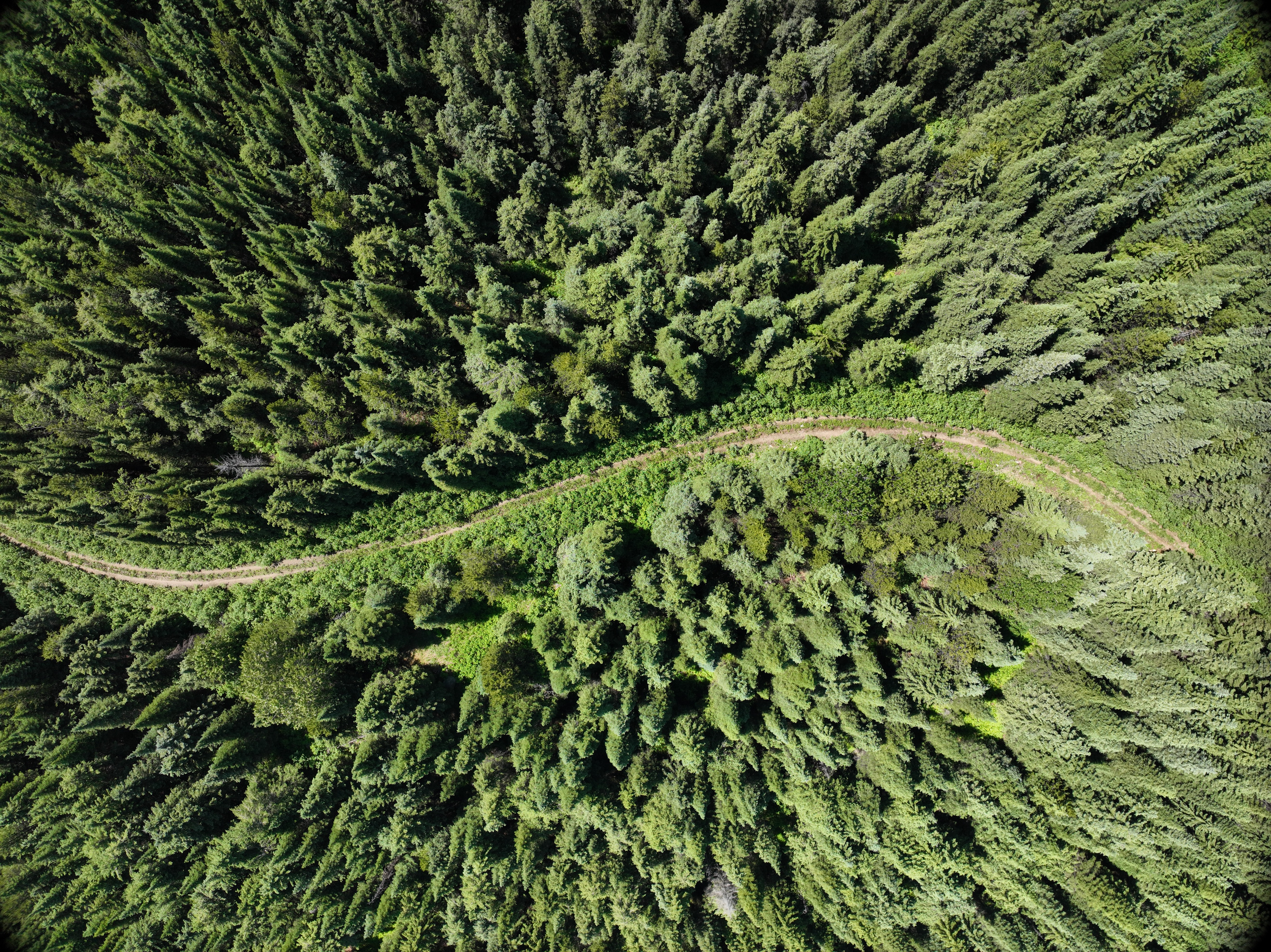
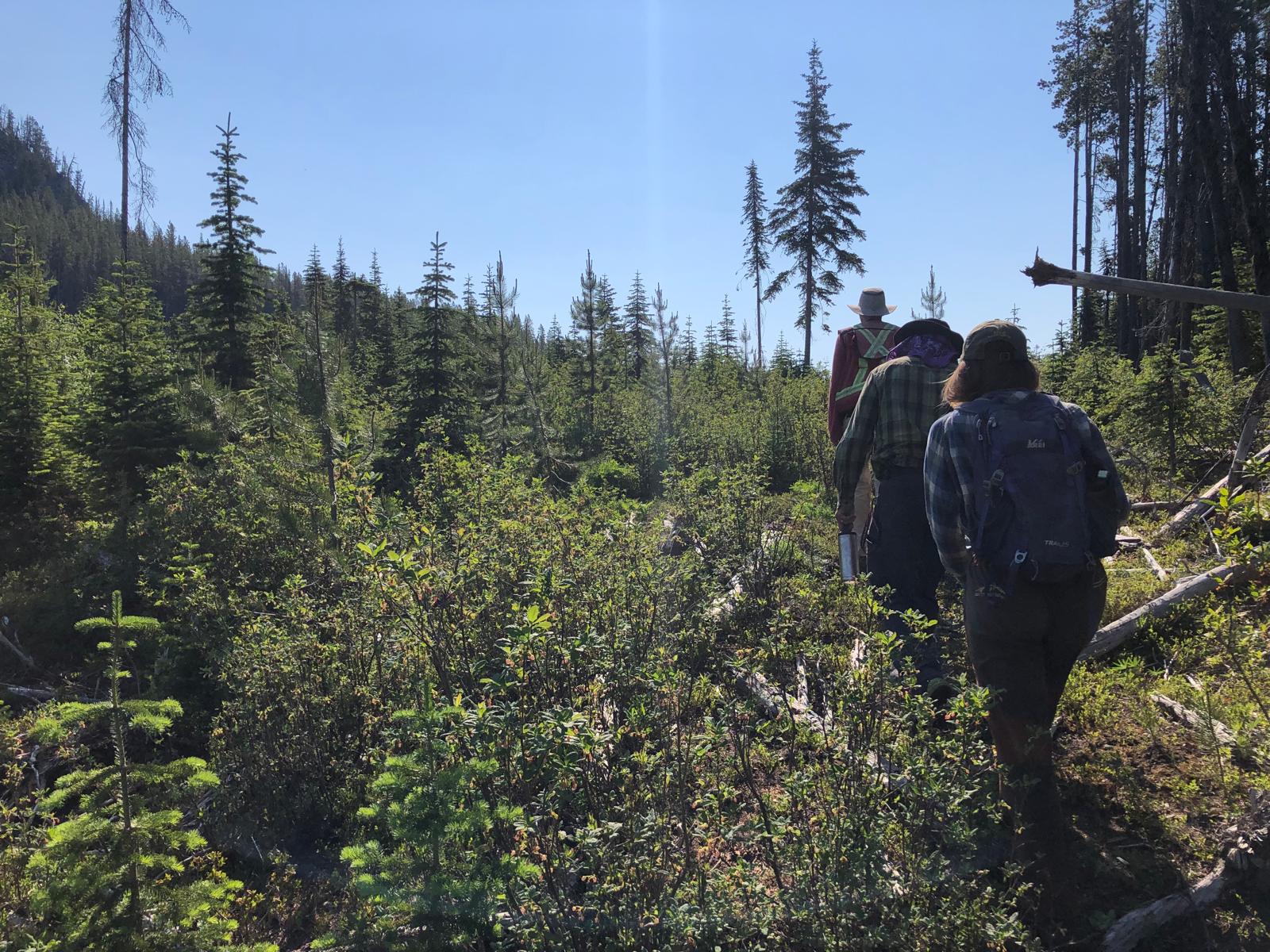
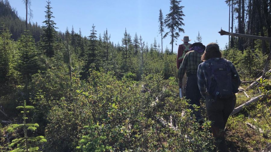
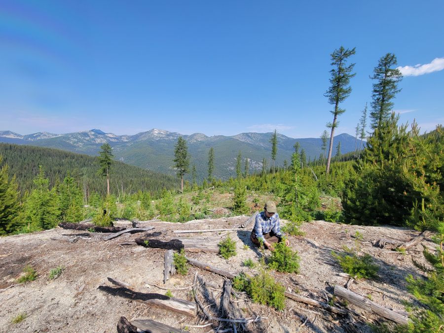
Forestry Research & Applications
Selkirk Innovates applies advanced drone-based, LiDAR, multispectral, hyperspectral and thermal technologies to support sustainable forest management and wildfire risk reduction. Our work includes:
- Tree species and mortality detection
- Cone cluster identification
- Fine fuel and biomass quantification in wildland–urban interface zones
- Monitoring post-treatment forest hydrological recovery
Our projects span:
- Salvage logging assessments
- BVLOS operational trials
- Tree-species identification and endangered whitebark pine mapping
By integrating high-resolution imagery, 3D forest metrics and predictive modelling, we provide forestry partners with scalable, data-driven insights for planning, monitoring and habitat management.
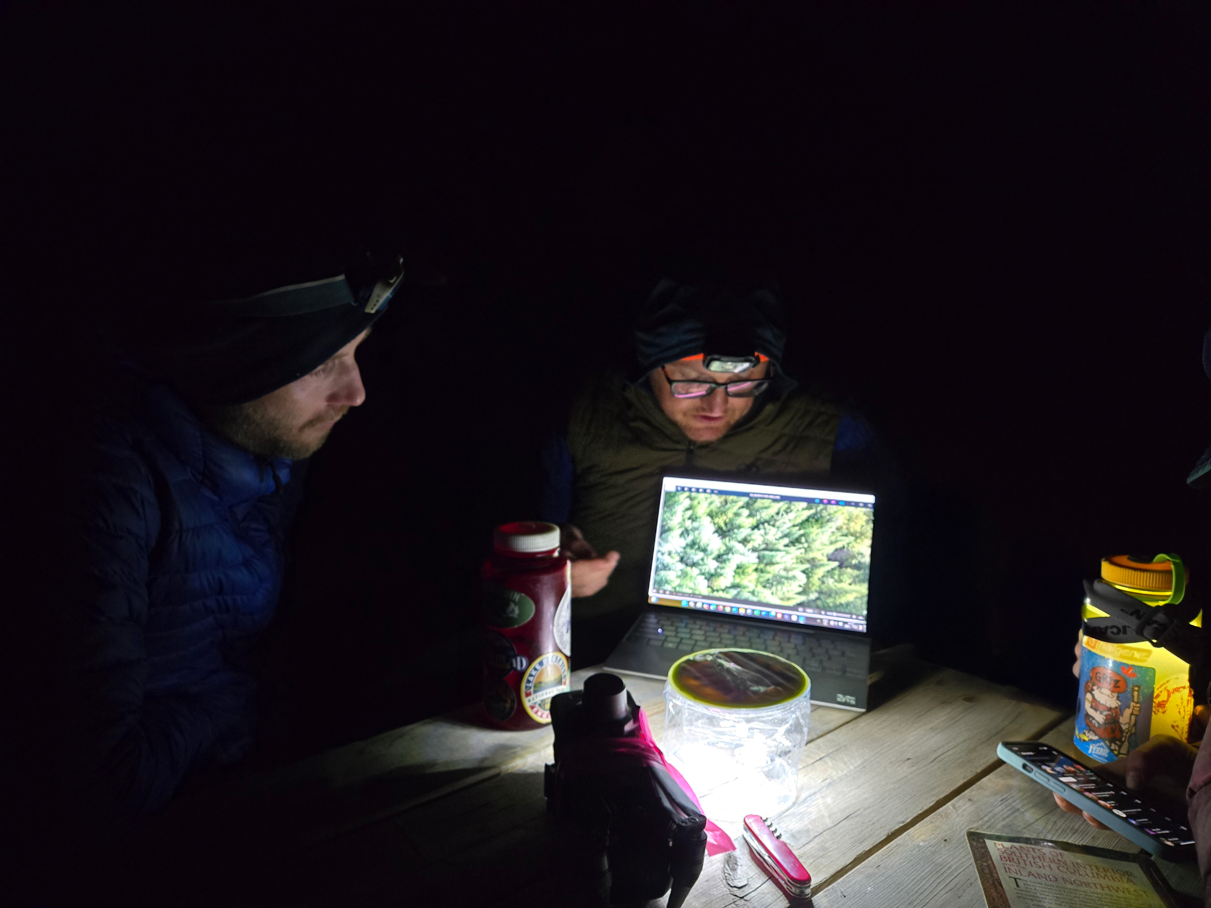
Other Research Applications
Beyond fisheries and forestry, Selkirk Innovates applies geospatial technologies to a diverse range of environmental and infrastructure projects. Our workflows integrate field-based validation with multi-sensor data to produce high-resolution, actionable insights for habitat monitoring, environmental planning and sustainable natural resource management.
Our work includes:
- Avalanche risk assessment and storm snow accumulation mapping with drone-based LiDAR
- Geothermal mapping using thermal imagery and hyperspectral imagery
- Wetland peat depth surveys using ground-penetrating radar
- Hydro utility corridor mapping, and other urban LiDAR and imagery acquisition projects
- Exploratory applications in mining and mineral resource assessment using drone-based LiDAR and hyperspectral workflows
By combining multi-sensor data collection with advanced spatial analysis, we deliver accurate, high-resolution products that support planning, monitoring, and decision-making across sectors—demonstrating the versatility of our expertise in applying innovative geospatial solutions to complex challenges.