A co-op student joins the GIS & Natural Resource Management team to gather data that can help increase understanding of fish habitats in the Columbia River basin.
"It has been great to see the intersection of GIS and fisheries in a very applied way,” says Emma Lognon, a graduate of the Recreation, Fish & Wildlife and Geographic Information Systems programs.
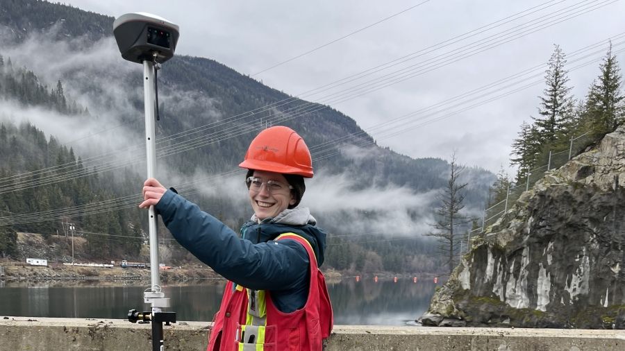
In the summer of 2023, Lognon joined the GIS & Natural Resource Management team at Selkirk Innovates as a geospatial co-op student, supporting fisheries intelligence research by leveraging remote sensing techniques to better understand fisheries ecosystems.
“It's been fun diving into remote sensing, from the data collection to processing and analysis,” says Lognon. “The experience I have gained around troubleshooting and developing an intimate knowledge of processing multispectral and thermal imagery has been invaluable.”
Informing Habitat Restoration

By mapping thermal refugia for fish, Lognon’s research can inform habitat restoration for species at risk and keystone species in the Columbia River basin. Fish in the West Kootenay region, particularly salmonids, depend on cold water in summer and warmer water patches in the winter. With climate change, finding thermal refuge in these seasons is crucial. Thermal imagery can help locate temperature gradients, refuge sizes and optimal temperatures for these species.
“I have especially enjoyed the moments in the field collecting ground validation data and getting familiar with drone operations,” reflects Lognon.

The thermal refugia project focuses on understanding local fish habitat using thermal imagery collected using remotely piloted aircraft systems. During her co-op, Lognon successfully identified relative hot and cold spots in two local streams. Relative temperature values can identify and classify thermal refuges, provide an initial assessment for further monitoring and inform conservation efforts.
The next steps for this research are to standardize the methods used to further explore fish behaviour and geophysical features around thermal refugia. The goal is to dive deeper and explore the interfaces between surface and groundwater that occur around thermal refuges with ground penetrating radar.
Learn more about leading applied research related to geospatial technologies and natural resource management.
We gratefully acknowledge the funding support of the Government of British Columbia’s Rural Economic Diversification and Infrastructure Program, the Clean Foundation’s Green Jobs Internship Program, Columbia Basin Trust, and Colleges and Institutes Canada.